"You can feel it within your chest...but it's just left because it's Burngreave"
Stark racial divides in air pollution exposure hold Sheffield back from anti-racist city goals
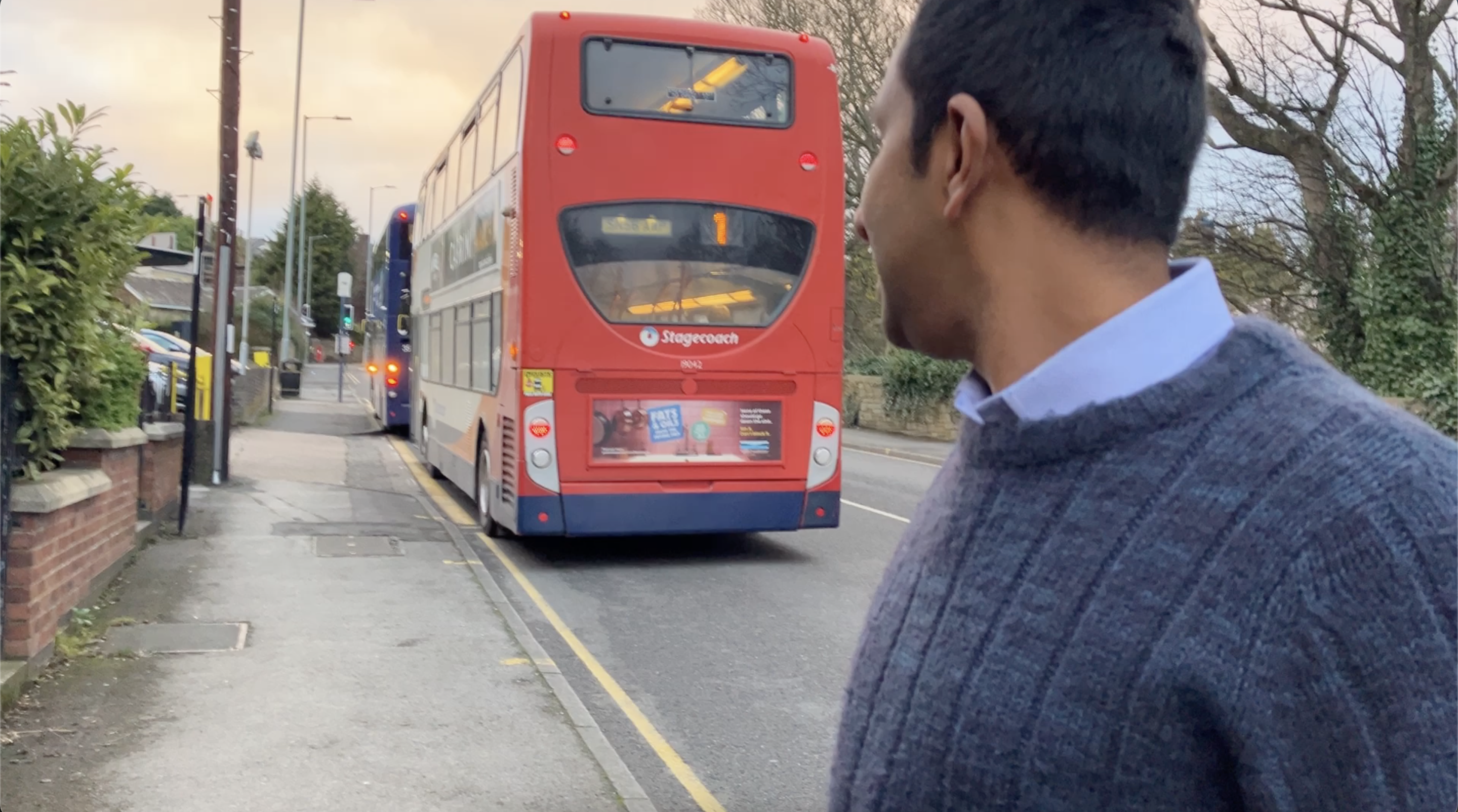
Aclassic, almost cliche, tale of two cities - One side poorer, one side more affluent. One side clouded with car exhaust, one side clearer and greener. One side mostly white, the other increasingly people of colour.
In February, the City Council announced its new Race Equality Partnership, and its intention to "help make Sheffield an anti-racist city". It has a long way to go.
"I suffer with asthma. I don't smoke or anything, so I put it down to the pollution. It's absolutely disgusting and I know it's not just me, there's a lot of people's health at risk."
In 2013, a fairness commission report found that a baby girl born in the western, predominantly white ward of Ecclesall can expect to live ten years longer than a girl born the same day in eastern, majority non-white Burngreave.
One of the contributors to this dramatic difference -the air they breathe. Air pollution plays a role in one in twenty deaths in Sheffield - around 500 deaths a year. It's also is responsible for 12% of all childhood asthma cases.
Today, if you take the 98 bus from the city's southwest to the northeast, pollution inequalities become impossible to ignore...
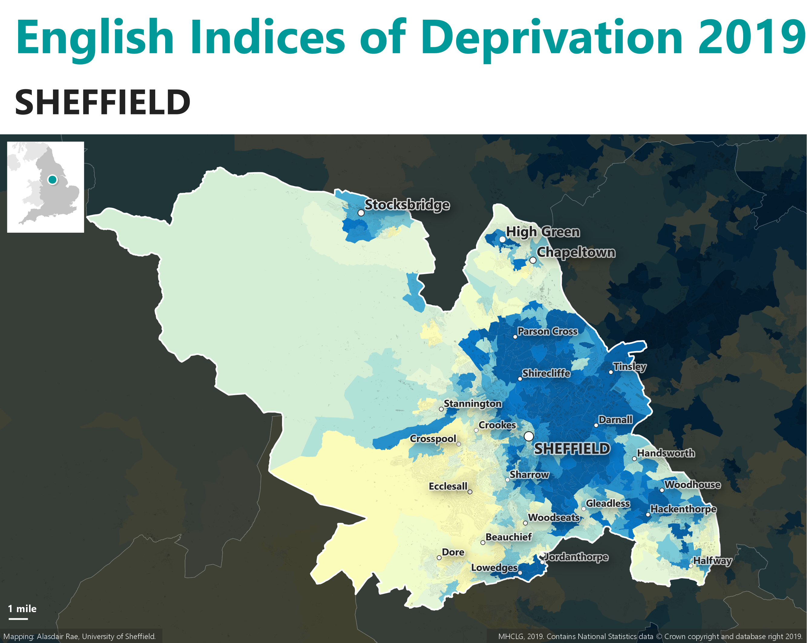
The data on nitrogen dioxide pollution from car exhaust show a sharply divided Sheffield.
This map shows measurements for average annual nitrogen dioxide levels across Sheffield
The darker the colour, the higher the pollution level
Image: Defra 2019 via Sheffield Local Insights
This is Totley in Sheffield's southwest, the start of the 98 bus route
Here, air pollution is only 8.8 micrograms per cubic metre - well within WHO healthy limit of 10 micrograms
Continuing the 98 bus journey, we arrive at Nether Edge. Pollution is higher here, 13.1 micrograms per cubic metre
Next stop: Burngreave
By the time the 98 bus makes it to the east, it's descended into air pollution levels of 19.2 micrograms per cubic metre, nearly double the WHO healthy limits and over twice as high as pollution in Totley
Go even further east, to Tinsley and Darnall, and the pollution continues to be high, at 19.1 micrograms per cubic metre
The M1 is a major contributor
The data on race is similarly stark.
This map shows the percentage of residents in each area of Sheffield that are not white
Image: Census 2021, Sheffield Local Insights
In Totley, residents are 90% white
In Nether Edge, it's more mixed, though still majority white: 61% are white and 39% are non-white
In Burngreave, the majority of residents, 65%, are not white
Darnall is also majority non-white, at 59% of the population
When you plot the city's race and air pollution data together on a graph, a strong relationship emerges.
Hover over the dots to learn more about different wards.
"There is an incredible unspoken disconnect in Sheffield of not caring about a very large population in the east of the city. A very odd disregard for a very large population."
Dr Danny Dorling, Professor of Geography at Oxford University and author of A Tale of Two Cities: The Sheffield Project

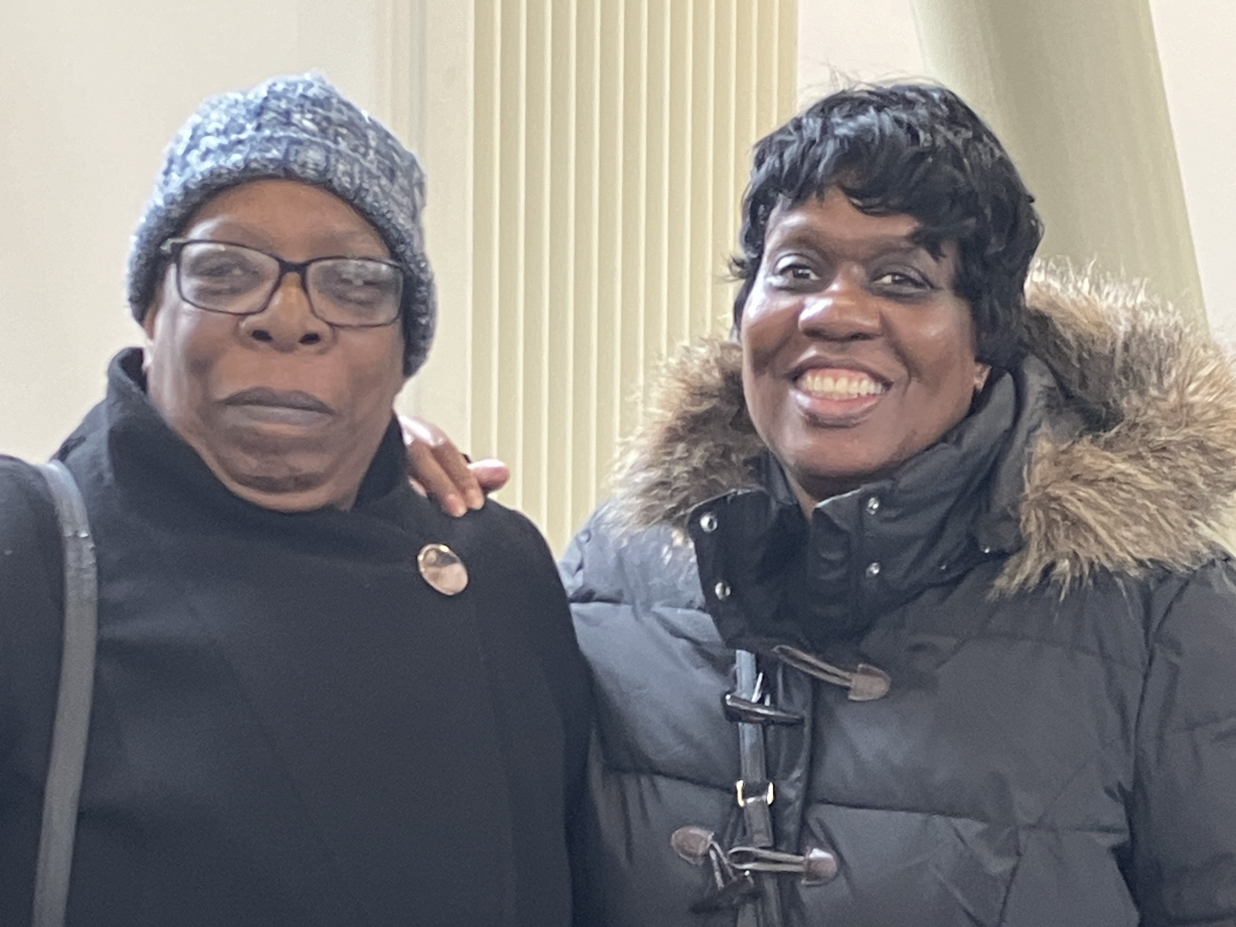
Lilian Linton
Lilian, 58, on the right, has lived in Burngreave all of her life. Recently, her asthma has been getting worse - a problem she attributes to the air pollution.
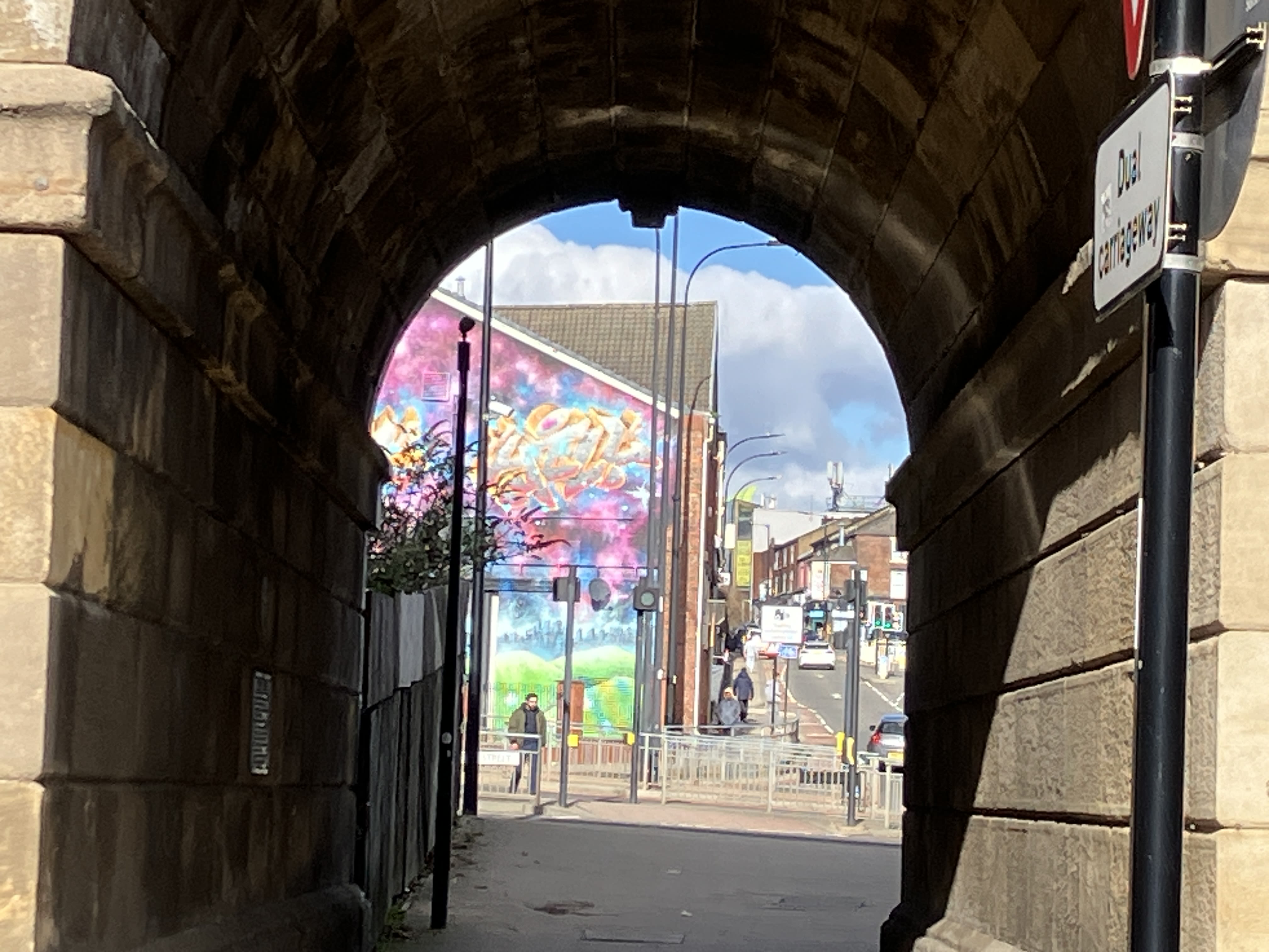
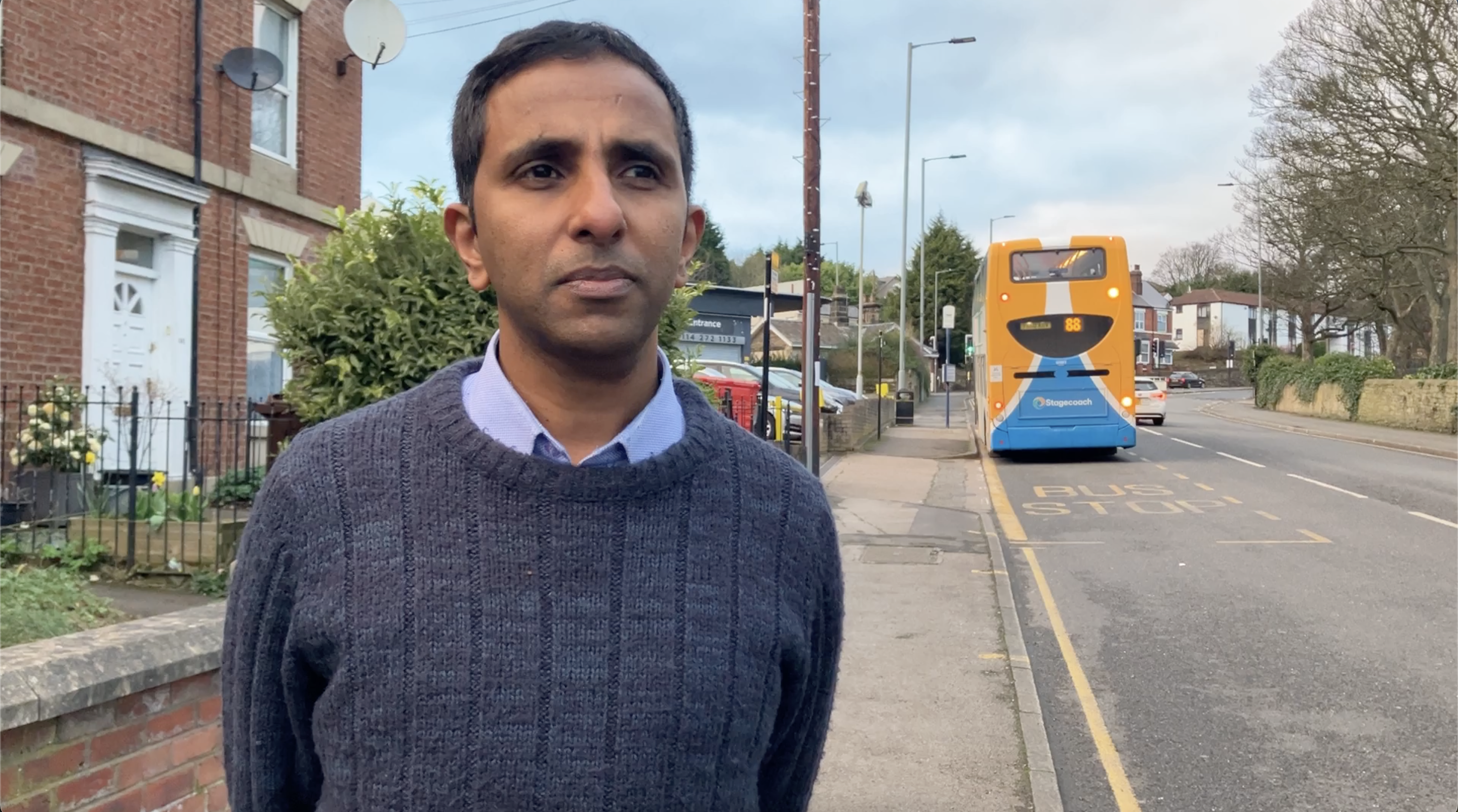
Blessan Babu
Blessan, 43, lives in Burngreave with his wife and two sons. His home, on the left, is exposed to nearly three times the WHO healthy pollution limit.
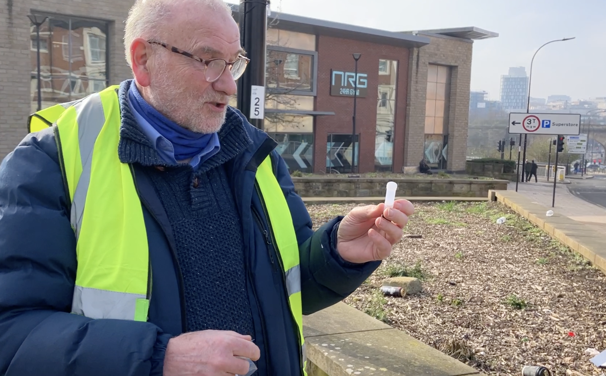
Graham Jones has been trying to get the Council to do more for Burngreave for six long years
Mr Jones, a Burngreave resident, has been relentlessly monitoring air quality. He feels that progress from the city remains slow.
When the Clean Air Zone (CAZ) was first announced, the City Council told Mr Jones that they knew it would increase traffic in Burngreave.
At the time of the CAZ announcement in 2021, Mr Jones was concerned that Burngreave would be left behind, so he made a Freedom of Information request about how the zone would impact the ward.
In their response, the City Council shared future projections that predicted more traffic in parts of the ward: "In the transport model, there are additional vehicles making use of the orbital route via Gower Street and Burngreave Road, Rutland Road and Minna Road to avoid the charge. This is largely made up of non-compliant LGVs [vans and trucks]."
It's now been just over a year since CAZ was introduced. Last month, City Council celebrated data showing a 64 percent drop in the number of polluting vehicles within the city centre boundary.
"Through CAZ, we hope to see a permanent, positive shift for all people who breath Sheffield's air", said Dr Greg Fell, Sheffield Director of Public Health.
Their new data, however, is limited to the CAZ boundary and the roads just outside it. As the City acknowledged in their own projections, polluting vehicles could still be diverting into areas like Burngreave to avoid the fine.
"City Council, do better," said Ms Linton. "It's time they start to look at Burngreave, and not discriminate against Burngreave".
When approached for comment on this article, Dr Fell said: "The Council is working to reduce inequalities in Sheffield wherever it can.
"We monitor actions so that we can make the best decisions possible, with local people at the heart of what we do".
Councillor Ben Miskell, Chair of the Transport Committee, was also approached for comment.
"Poor air quality kills people. It puts people into hospital for stroke and heart attacks and cardiovascular causes, and it accelerates aging. So the reason we're doing this work is to reduce illness and reduce deaths."
